“Over it is Nineteen”

Victory at EM23 (Bucksnort Trail), Winter 2012. Image courtesy and © ZK.
As previously discussed herein, the southern districts of the Los Padres (the eastern section of what is now the Sespe Wilderness especially) bore a disproportionate brunt of the camp closures and trail abandonments in the 1970s. A largely empty and tree-clad corner of the Los Padres, this area is now dominated by the OHV routes in and about Lockwood Valley. And now with the Los Padres Conservation and Recreation Act pending, much of this stretch of forest faces further change.
Regardless of the fate of Gallegly’s bill, the 19 West legacy is a chronicle of trails through paradise (lost).
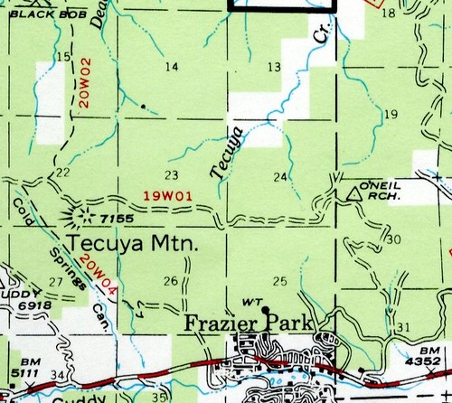
19W01
Tecuya Trail
An OHV route since the dawn of time, known more often as Trail 117.
19W03
Tejon Trail
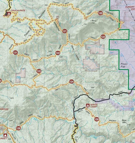
OHV Trail 122.
19W04
Snowy Trail
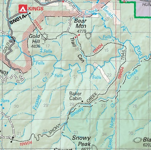
Trail 130 leads OHV riders from the eastern flank of Alamo Mountain along Snowy Creek, past abandoned Seven Pines camp, then the remains of the Baker Cabin (burned in the 2006 Day Fire), and finally curves west along Bear Mountain to Kings Camp.
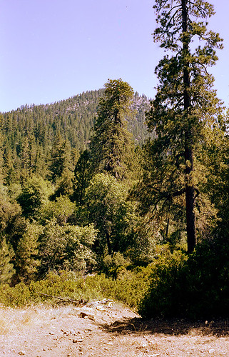
Snowy Creek Trail, 1983.
Image courtesy and © The Los Padres Expat.
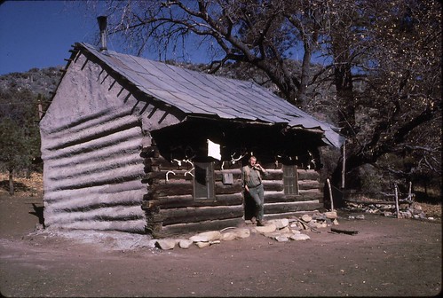
Baker Cabin, late 1960s. Image courtesy LPNF archives.
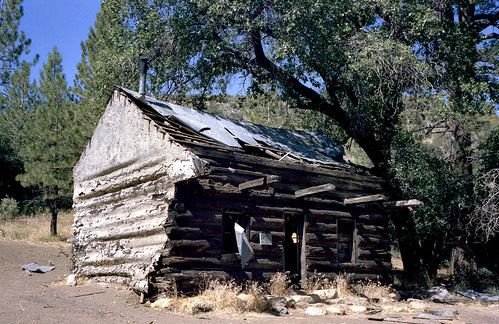
Baker Cabin, 1983.
Image courtesy and © The Los Padres Expat.
19W05
Big Cedar Creek
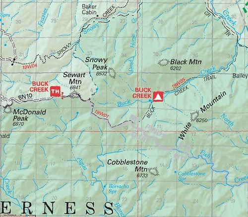
As mentioned in the 18 West discussion back in January 2012, there’s some confusion as to 19W05’s proper application.
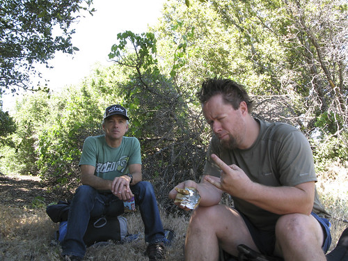
Getting cooked along the 19W05, Summer 2011. Image courtesy and © ZK.
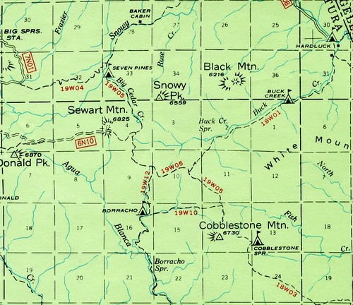
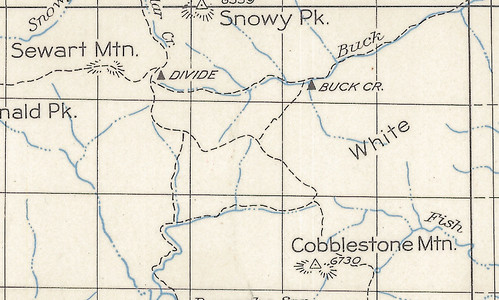
The more I study the old maps, the more inclined I am to believe the “true” 19W05 is the route from the old Seven Pines camp (via Big Cedar Creek) to the saddle there between the Borracho and Fish drainages, just north of Cobblestone Mountain.
The 1950 visitor map also shows a camp there near the junction with the Buck Creek route; I’ve yet to discover it or find any additional intel.
19W06
East Frazier Trail
Trail 120, this short route connects Trail 122 and Road 8N24 along the northern flank of Maxy Hill (see 19W03’s map above).
19W09*
Twilight Mine Road
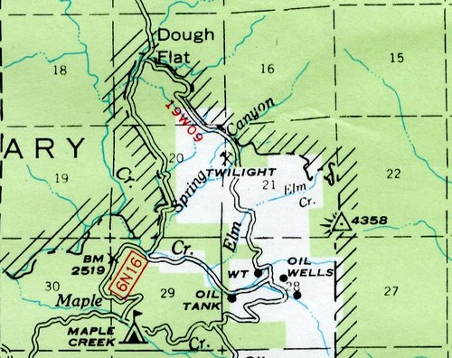
Still with us? Good, because this is where things take an interesting turn. The 1943 Devils Heart Peak quad whets the exploratory appetite with several routes long-since forgotten, not the least of which is a trail heading southeast from what is now the condor lookout near Dough Flat trailhead toward Spring Canyon and Elm Creeks and the old Twilight Mine. Later maps (eg, the 1967 visitor map) show it as a road leading to the mine … and both the Sespe Wilderness and Sespe Condor Sanctuary provide for a corridor to this day.
“Exxxxcellent.”
19W10
Agua Blanca
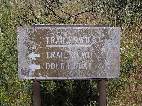
Image courtesy and © bobby_emm.
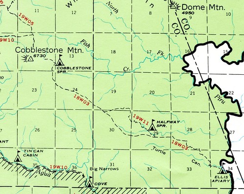
This trail — which once ran from the saddle between White and Cobblestone Mountains all the way to the Agua Blanca/Piru confluence — is an epic eastern LP route. And it’s dying. Though the eastern end of the Condor Trail and recognized by the Forest Service, it sees virtually zero maintenance beyond what Alan Coles’s intrepid crew executes downstream of Log Cabin camp. But proving this deteriorating route is still viable — to the insane, at least — H’ard Cohen did this as a trail run in late 2011. See his fantastic photo set here; note especially the ice cans and wooden camp sign still standing at Cove camp. Inspiring.
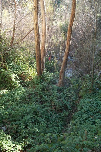
The old route between Saddle Skirt and Ant
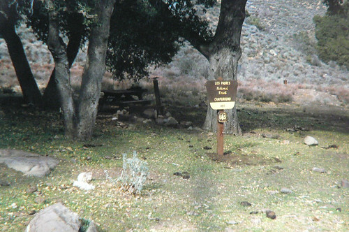
Ant Camp, 1967. Image courtesy USFS archives.
19W11*
Halfway Spring Spur
On the crew’s short list, this spur trail led Cobblestone route hikers to the Halfway Spring camp and to the only reliable water between Cobblestone Spring and the area around the Turtle/Piru confluence (Ellis Apiary).
19W12*
Borracho Connector
Wait, what? That’s insane. Time to plan another exploratory!
19W17
Goldhill Trail
Trails 123 and 124, connecting Lockwood Creek 4WD Road with Gold Hill Road.
19W18
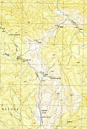
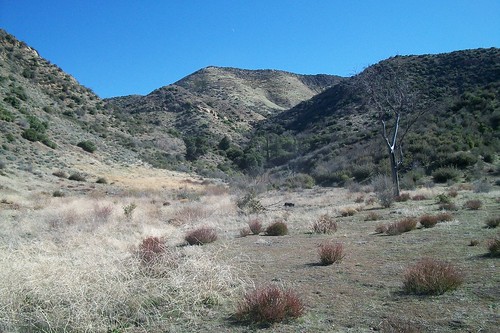
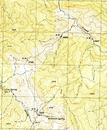
Bucksnort Trail
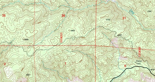
This is the route connecting the Alder Creek route with the Agua Blanca route. Much of it is a former dirt road, making navigation a breeze.
After 19W18, we fall off the map.
There are a number of glaring omissions here, and not just in terms of sequential numbering. Among the routes unaccounted for in this Range-prefix naming convention that would have certainly been part of the 19 West group:
Bucksnort “East”
(Not to be confused with the dozerline that I maintain chewed up the EM24 monument.)
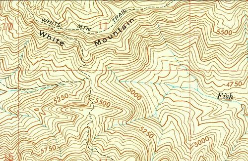
White Mountain Trail
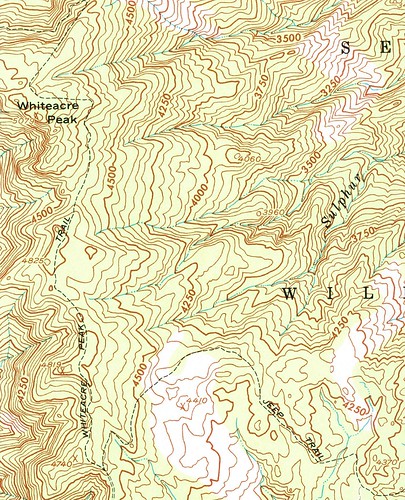
Whiteacre Peak Trail
With legislation looming, what end do these routes face? Further, might new 19Ws appear?



Leave a Reply