Lookout! No. 1: Thorn Point

First in a Series

In the early decades of the Twentieth Century, the federal government — massively augmented by the Civilian Conservation Corps during the Depression — built thousands of fire lookouts throughout USFS and other federal lands. In the West, the lookouts not only provided early detection for conflagrations, but during the Second World War were also used by the Aircraft Warning Service (AWS) to spot for enemy (Japanese) aircraft.

Dozens of lookouts populated the peaks of the southern Santa Barbara (later Los Padres) National Forest, from Madulce and West Big Pine to Reyes and Santa Paula Peak to Frazier Mountain and Mt. Piños.

Today, only four remain. This series will discuss both those standing and those long-gone.

Thorn Point

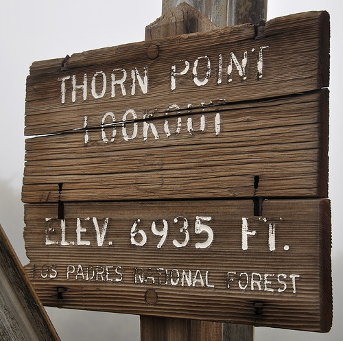
Here's your sign...

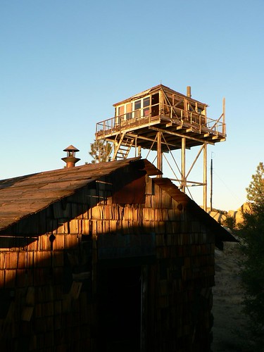
The Thorn Point lookout dates from 1933. The 14′ x 14′ cab on a 20′ H-braced tower is in pretty poor condition as of this writing, but still open and with awesome views of the Sespe and Piru watersheds and Topatopa Mountains. Some of its furniture and cabinetry are still intact, but certain elements (e.g., telephone) are gone.

During World War II it was staffed 24 hours a day and a ground cabin was added for the off-duty observer during 12-hour shifts; the cabin still stands and is one of very few still standing in California.

Now within the Sespe Wilderness, the lookout is a moderate three-and-a-half-mile hike from Thorn Meadow. Given its proximity to the Sespe Sanctuary, the tower has also been used as a condor monitoring station.

Thorn Point Lookout and AWS Hut

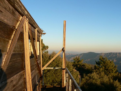
Lookin' Out My Backdoor

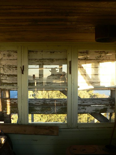
A Moment of Self-reflection

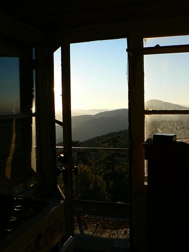
Someone Get the Door


Comments

7 responses to “Lookout! No. 1: Thorn Point”

  1. Looking forward to the rest of this series. I have to admit I haven’t been to any of the remaining lookouts!

    Apparently the old cabin along the Jackson Trail up off of the Sierra Madre Ridge was some sort of lookout at one time, allegedly from the WW2 era. The little note I saw about it claimed it was moved off a higher point to its present location. If you cover this one, I’ll be keen to see what you are able to find out about it.

    1. Thanks Nico — I remember during the Zaca fire Ray Ford got a great picture of the cabin wrapped up; see the Independent article here. Photo is at the bottom.

      The cabin does (in some ways) resemble an AWS cabin, but I’ve heard conflicting accounts. Another for the list of mysteries to resolve. 😉

  2. Into the mid 1980s there was still a wire running up to the Thorn Point lookout, although I am sure that by that time there was no functional aspect to it (I never thought to investigate). I assume this vestige of the past is gone but it is nice to see the old tower still standing and getting some of the Carey scholarly attention.

    1. There are several poles still wired in the area, but none (that I noticed) connected to the lookout proper (see photo here). Still the most complete lookout site in LPNF that I’ve seen — and wonderfully free of all the communications arrays that blight most (e.g., La Cumbre, Frazier Mtn, etc.).

  3. Thank you for posting this series!

  4. The photos and blogs brought back memories. I hiked around McPherson Peak and went inside the Thorn Point Lookout, which still had a lookout log dating back to the 1960’s. I also built and put up the Sespe Wilderness signs in the area. Spent lots of time in the 1970’s hiking the area, and then the 1980’s through 1990’s working for the Los Padres.

  5. Bryan and I are thinking about making a trip and looking around the internet for pictures. Thinking this would be a really cool place to have a camp out if they would fix it up just a bit. It would take someone with a helicopter, unfortunately. Still, it would be a great place to see the sunrise and sunset.

Leave a Reply

Your email address will not be published. Required fields are marked *