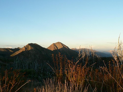
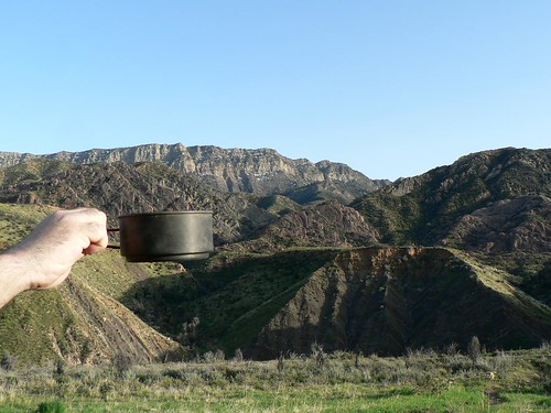
Topatopa Tale the First
Topatopa Peak. Topatopa Mountains. Topatopa Bluff (it’s singular, by the way). And for the real old-school or the real detail-oriented (guilty on both counts, your honor) … Topatopa Lodge campsite.
Got all that?
First, a wee bit of toponomy. This is the easy part. Conventional wisdom around these parts is that “Topatopa” — often misspelled as two words — is derived from the Chumash for “gopher” (in duplicate). Legend has it that long before the Spanish arrived, what is now known as the Ojai Valley suffered a period of drought, and the village prayed and danced for the rains to come. One day, two snow-white gophers appeared in the village, and the heavens opened, relieving the drought. The gophers, cared for by the villagers, were later buried along the ridge now bearing their name. Other legends abound, but these are the basics.
Geologically-speaking, the Topatopa Mountains are those mountains which on their western edge are marked by the multi-colored strata so easily spotted from various points in western Ventura County. Drive along Telegraph Road toward Santa Paula, and you’ll see them plain as day. But just as impressive are the strata only visible from the Sespe and points north (e.g., Thorn Point, Johnston Ridge, etc.) — from their backside one can see the mountains extend far toward and into the Sespe Condor Sanctuary. Resident science officer ZK explained to me as we were making our way along the eroded and fire-chewed Red Reef trail this past spring that the trademark strata are actually inverted marine layers, flipped nearly 180 degrees from their original placement (he’s a handy guy to have around when I wonder these things aloud).
Topatopa Peak. This is the one folks tend to get wrong most often. It’s not the short (but steep) little hike from the end of Nordhoff Ridge Road with the stone bench and trail register and geocache, etc. That’s Topatopa Bluff (or the western edge of it, anyway). And it’s not the 6486-foot peak just this side of Hines Peak, either. That one’s known as No-name Peak (I know, real creative). Topatopa Peak — site of an old fire lookout burned during the 2006 Day Fire and long off-limits to us mere civilians since its inclusion within the boundaries of the Sespe Condor Sanctuary — isn’t even on the Topatopa Mountains 7.5′ quad (still with me here?). It’s further east, on the western edge of the Devils Heart Peak quad, and topping out at a (relatively) anemic 6210 feet, some 5.5 miles from all this Topa-infused confusion.
So with apologies to everybody who thinks they’ve climbed or hiked Topatopa Peak, check your USGS quads or your Harrison map. Odds are you haven’t.


Leave a Reply